Collin Ortals
Water-resources engineer and modeler, scientific software developer, and applied researcher. More than ten years across applied research, consulting, international utility planning, and independent program development.
PhD, Coastal Engineering
University of Florida, 2022
BS, Civil Engineering
University of Pittsburgh, 2016
Engineer Intern (EIT)
PE-eligible on examination
Publication record
13 peer-reviewed articles · 419 citations · h-index 11
Biography
I started out taking measurements. Standing in a salt marsh at four in the morning waiting on a tide, running velocity transects across a pass for twenty hours straight, working out where instruments should sit so the data would actually constrain the model that needed them. That is still how I think about analysis: a model is only as defensible as the evidence you can point to when someone asks why.
From there the work widened — riverine hydraulics and floodplain analysis across roughly 150 stream miles, coupled coastal modeling of salinity intrusion and marsh response over several hundred square kilometers of Louisiana coast, a doctorate on effective drag and dissolved-oxygen variability in frictional estuarine environments, and machine learning to extract creek networks from aerial imagery. Then three years in the Kingdom of Saudi Arabia building and operating a versioned demand and supply planning model that ran to 2080 and absorbed input from ten to twenty teams without losing track of where any number came from.
That last project clarified everything. I was not short of models; I was short of a way to make models, datasets, assumptions, and disciplines add up to something a decision could rest on, and to keep it reconstructible six months later when the plan changed and someone needed to know what we had assumed. Every discipline I had worked in had its own version of that problem.
So Pacaya Group is built around it. The practice does substantive technical work — demand and supply modeling, hydraulics, coastal hydrodynamics, geospatial analysis and machine learning, scientific software — and it is building the shared foundation that lets specialist models connect without their authors giving up scientific ownership. The two halves are not separate businesses: integration work only stays honest if you are still doing the modeling yourself.
On the name
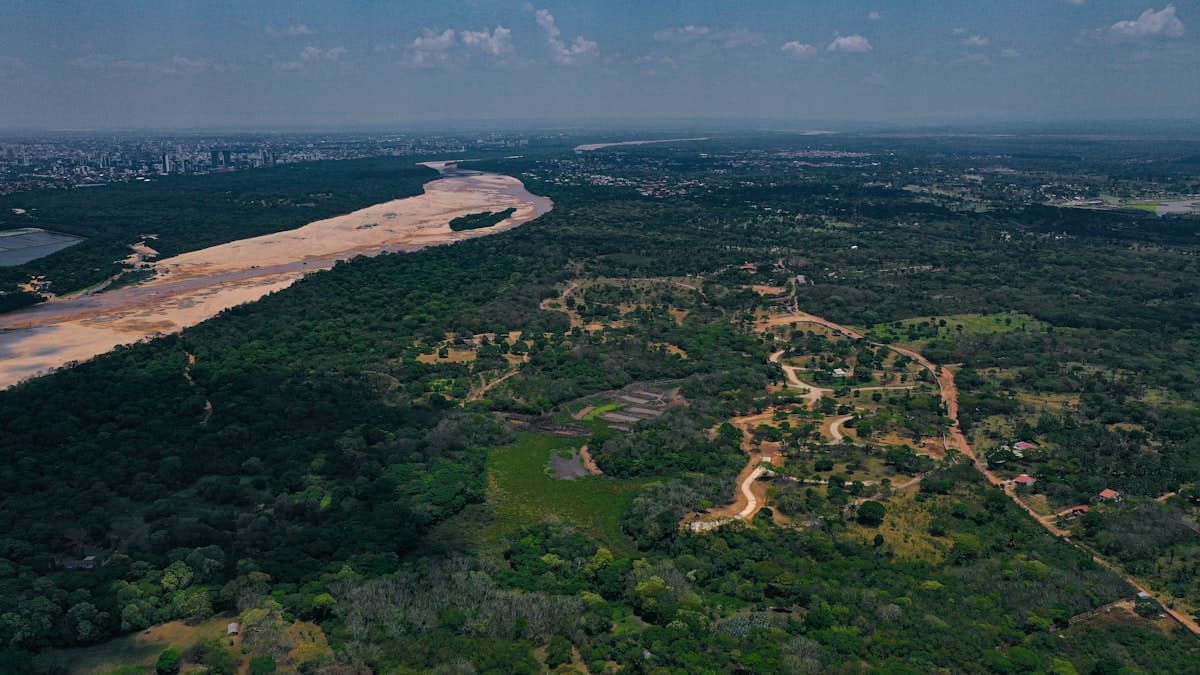
Pacaya-Samiria is a protected reserve in the Peruvian Amazon, in the wedge of land where the Marañón and the Ucayali converge to form the Amazon proper. I did some of my earliest research on that system's morphodynamics, and have kept returning to it for a decade.
The confluence is the whole idea: two rivers arriving with their own sediment, chemistry, and history, and becoming one system without either ceasing to exist. That is a fair description of what integrated water-resources modeling is supposed to do, and why the tagline is not decorative.
Pacaya Group
Building teams, not just models
I have supervised and mentored junior staff and an intern on a groundwater-resources team, covering GIS training, analytical method, and professional development. I co-led the assembly of an international consortium spanning eight organizations, defining roles, work packages, reporting relationships, schedule, budget, and shared deliverables.
Collaborations span hydrodynamics, ecology, remote sensing, water quality, data science, finance, planning, scientific software, government agencies, and infrastructure teams. That range is not incidental to the research question — it is where the question came from.